Around the Raduński Circle I
- 56.5 km
- 4h 50min
- Pomarańczowy
- average
- 0 m
- 253 m
Characteristics of the trail
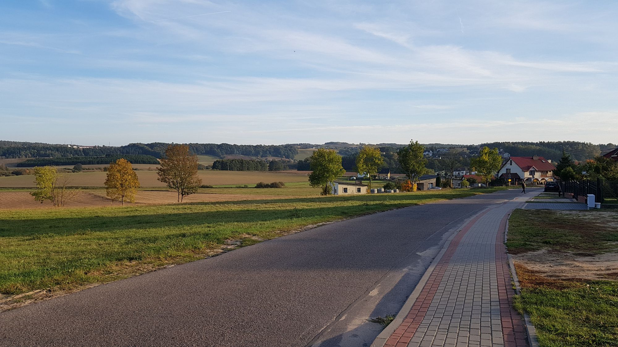
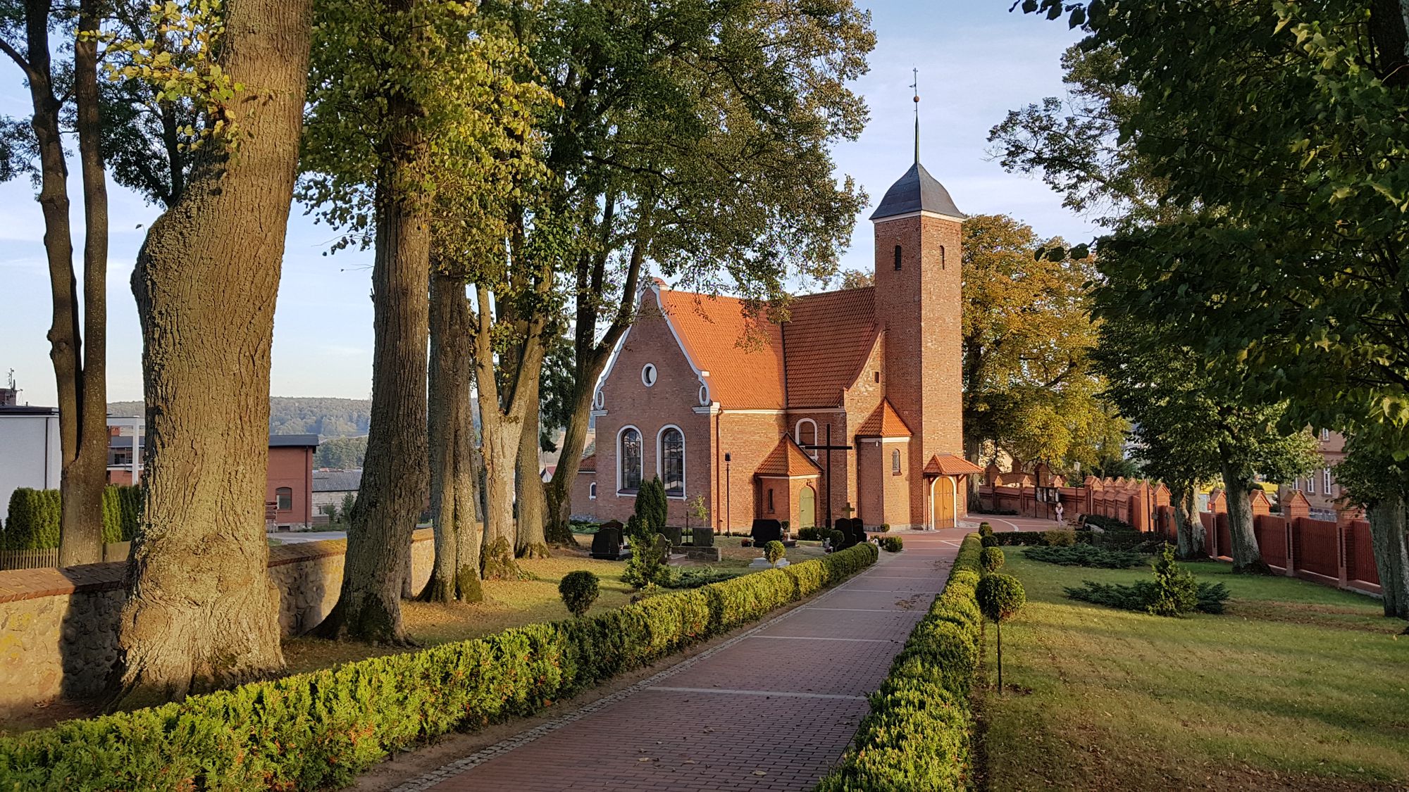
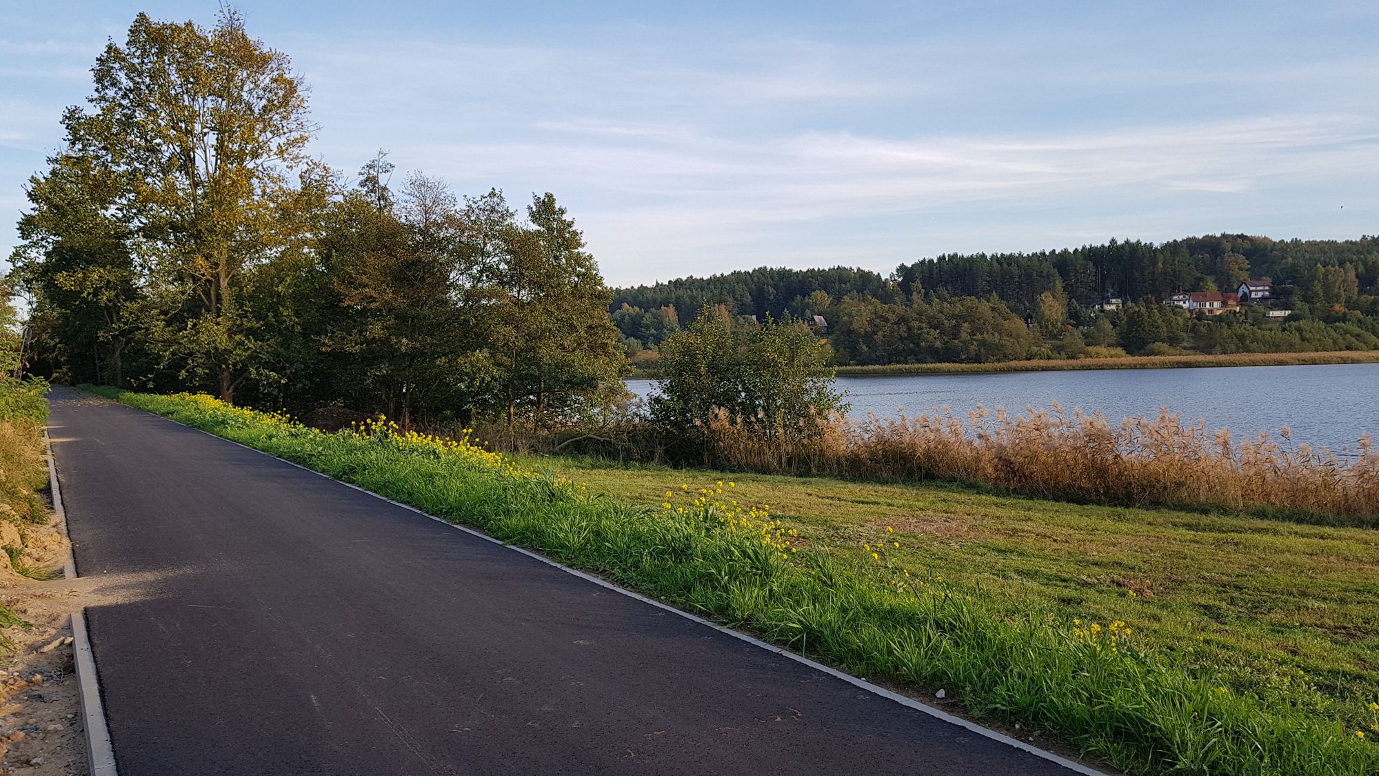
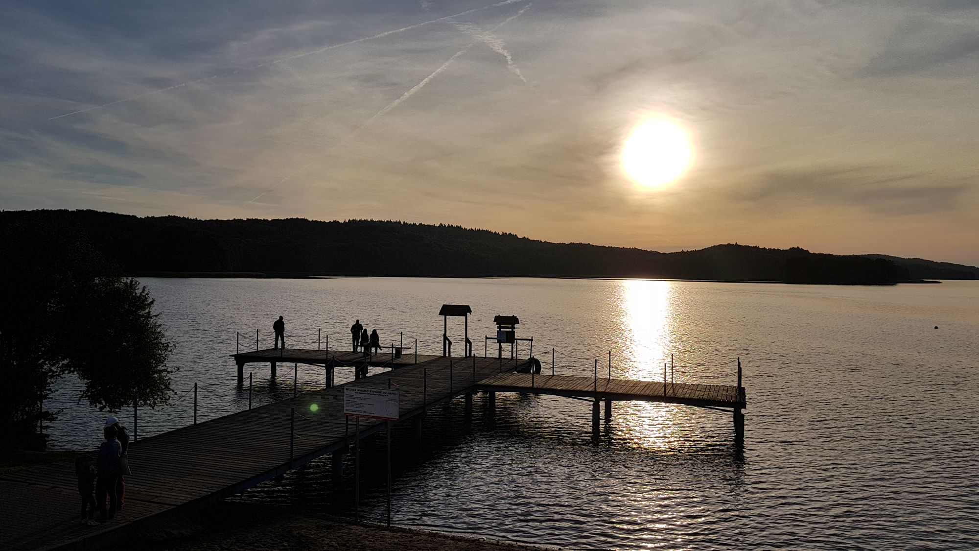
The bicycle trail ‘Around the Raduńskie Circle I’ is one of the two suggestions of trails leading around the system of lakes called Raduńskie Circle connected by the Radunia River. It leads through the central, the most varied part of the Kashubian Switzerland and covers the areas with the greatest lake density in the region. It runs along 8 large lakes and an exceptionally varied area in terms of landscape. The suggested trail passes popular tourist destinations in Kashubia such as Ostrzyce or Chmielno.
General course of the trail (distance in km from the starting point on a cumulative basis)
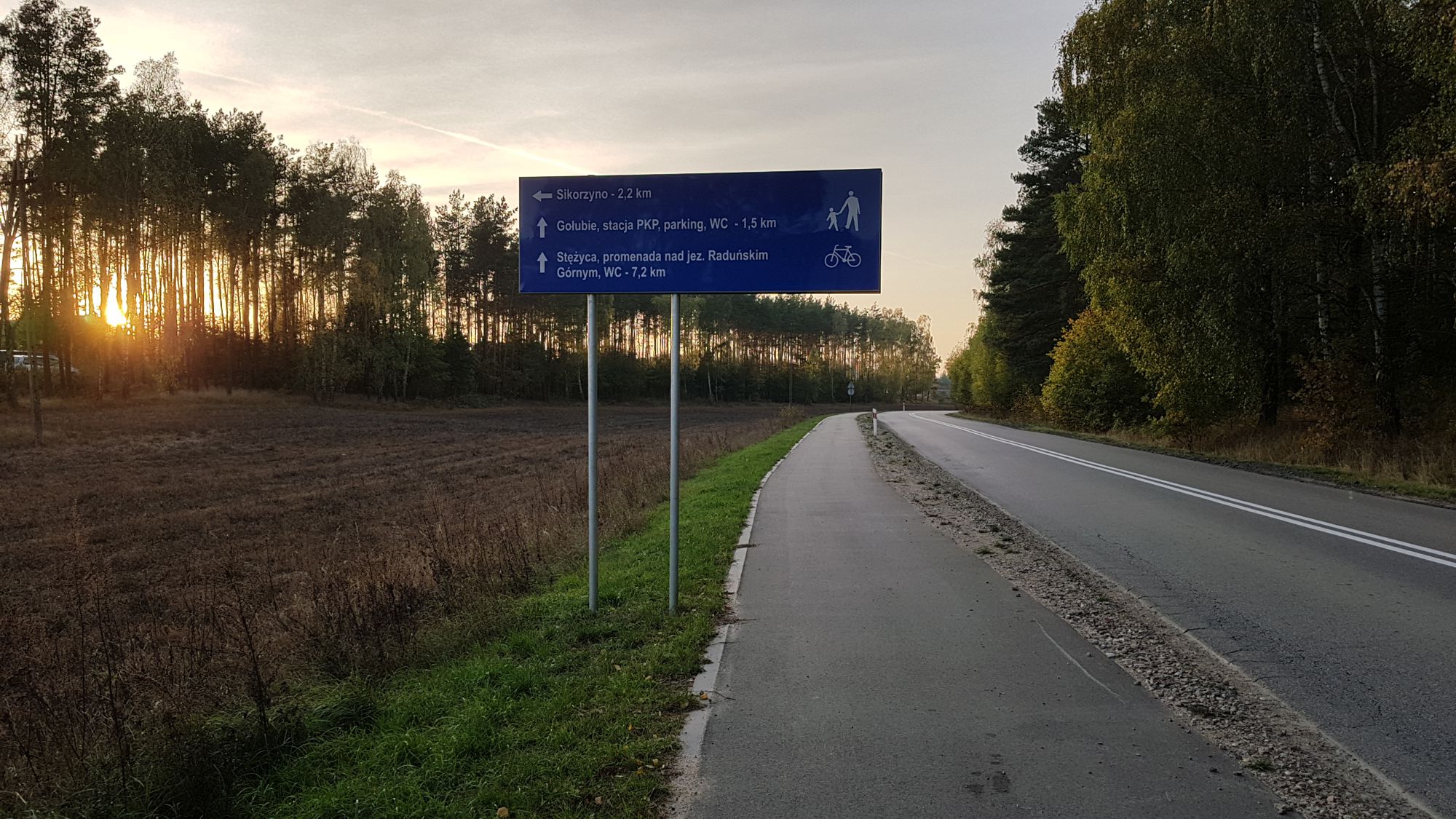
Kartuzy – Goręczyno (10 km) - Ostrzyce (13,5 km) - Szymbark (20,5 km) - Gołubie (25 km) - Stężyca (30,5 km) - Zgorzałe (35 km) – Przewóz (39 km) - Zawory (48 km) - Chmielno (49,5 km) – Kartuzy (57,8 km).
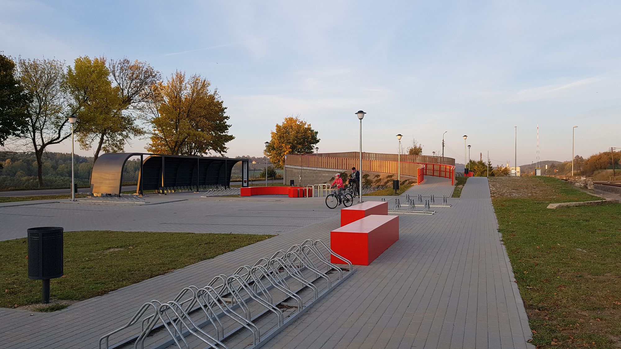
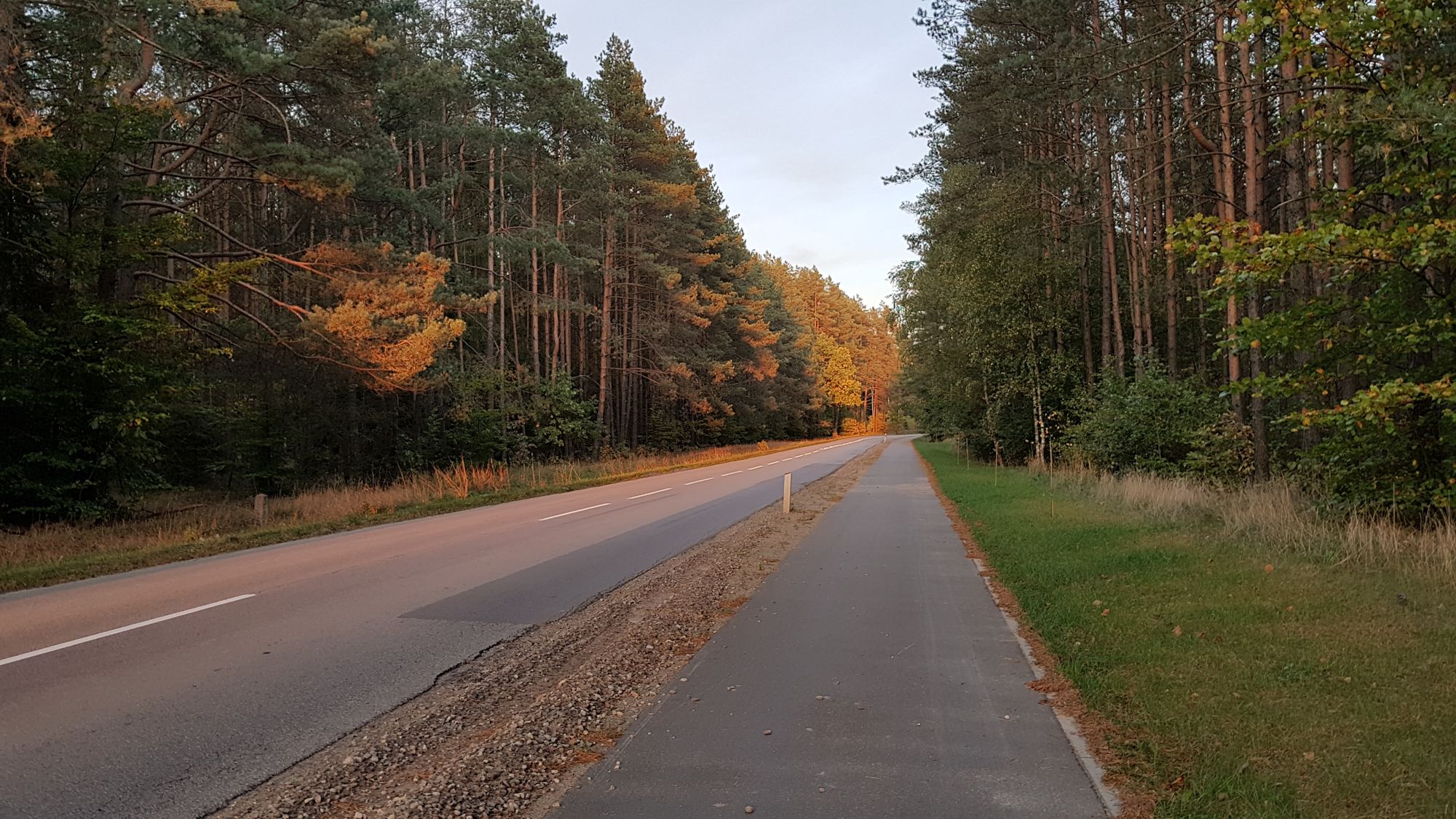
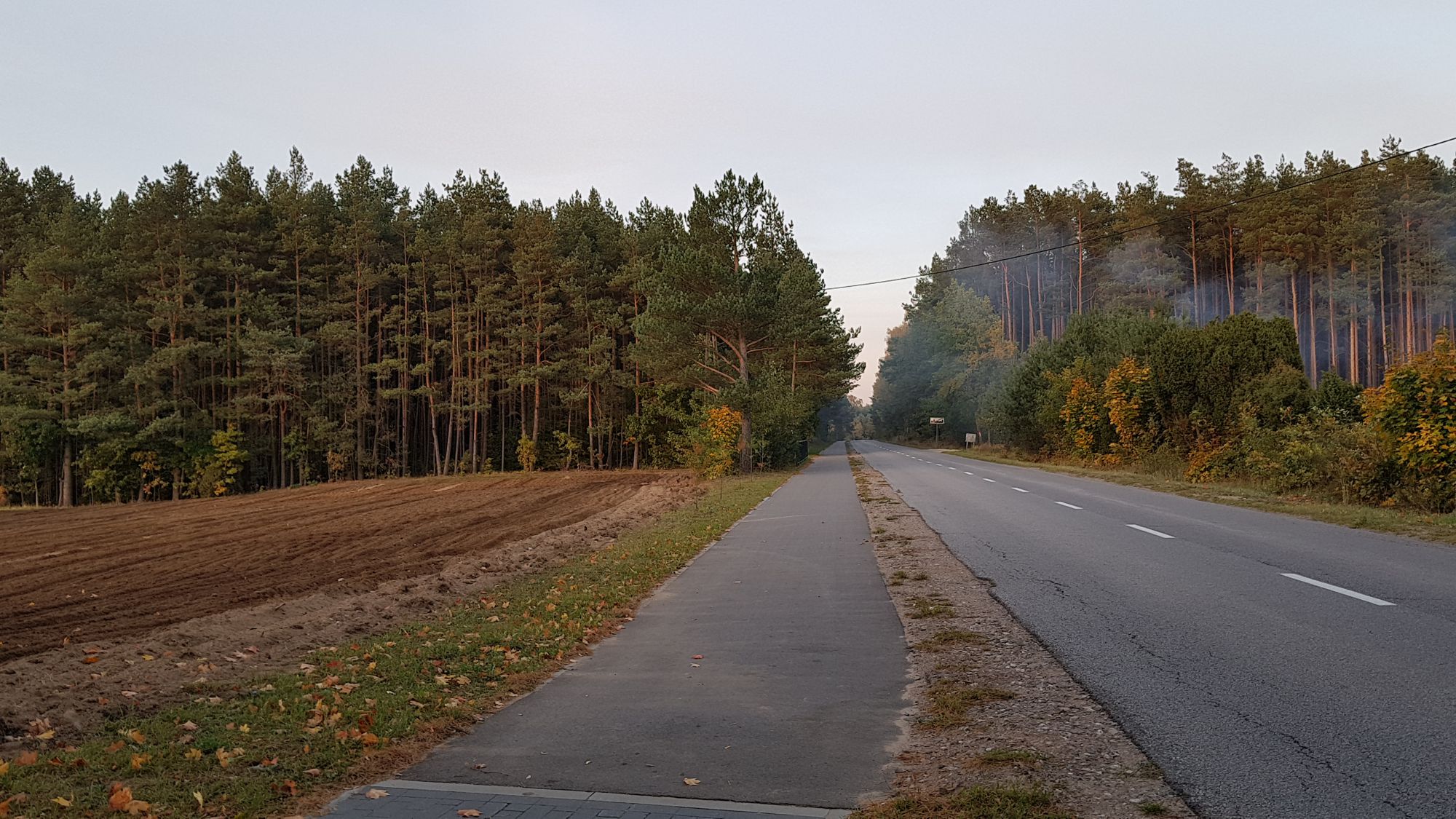
The trail forms a loop with starting and finishing point located in Kartuzy nearby the railway station (parking for cars and bicycles, bike rental MEVO). The trail is one of the longest in the region (57.80 km) and belongs to the medium difficulty trails with several bigger uphill sections between Ostrzyce - Szymbark and Przewóz - Zawory. The trail runs along roads of various surfaces, mostly in satisfactory condition - part of it along built, paved bicycle routes; in part, it leads along dirt and asphalt roads with low traffic - the structure of the trail surface is as follows (in % of length):
- bike paths – 20%,
- dirt roads – 30%,
- asphalt roads – 50%.
The trail is not marked. It is highly interesting, has a typical recreational character and is ideally suited for a day-long bicycle tour in the heart of Kashubian Switzerland, combined with visiting numerous attractions in its vicinity. The trail is entirely passable for a bicycle with panniers / bicycle trailer and recommended for families with children.
Trail parameters:
- marking: lack
- starting point: Kartuzy
- finishing point: Kartuzy
- medium gradient: 2,2%
- the highest point: 261 m
- the lowest point: 161 m
- sections with substantial gradient: 2
- purpose: for families with children.