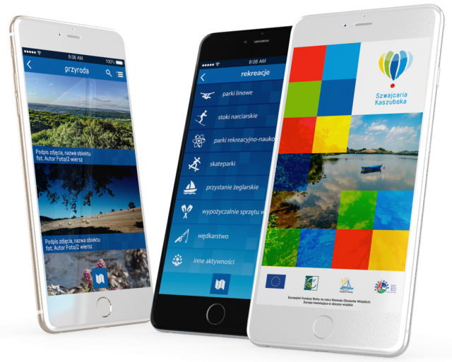
Raduńskie Circle Trail
- 38.1 km
- 48h
- Niebieski
- hard
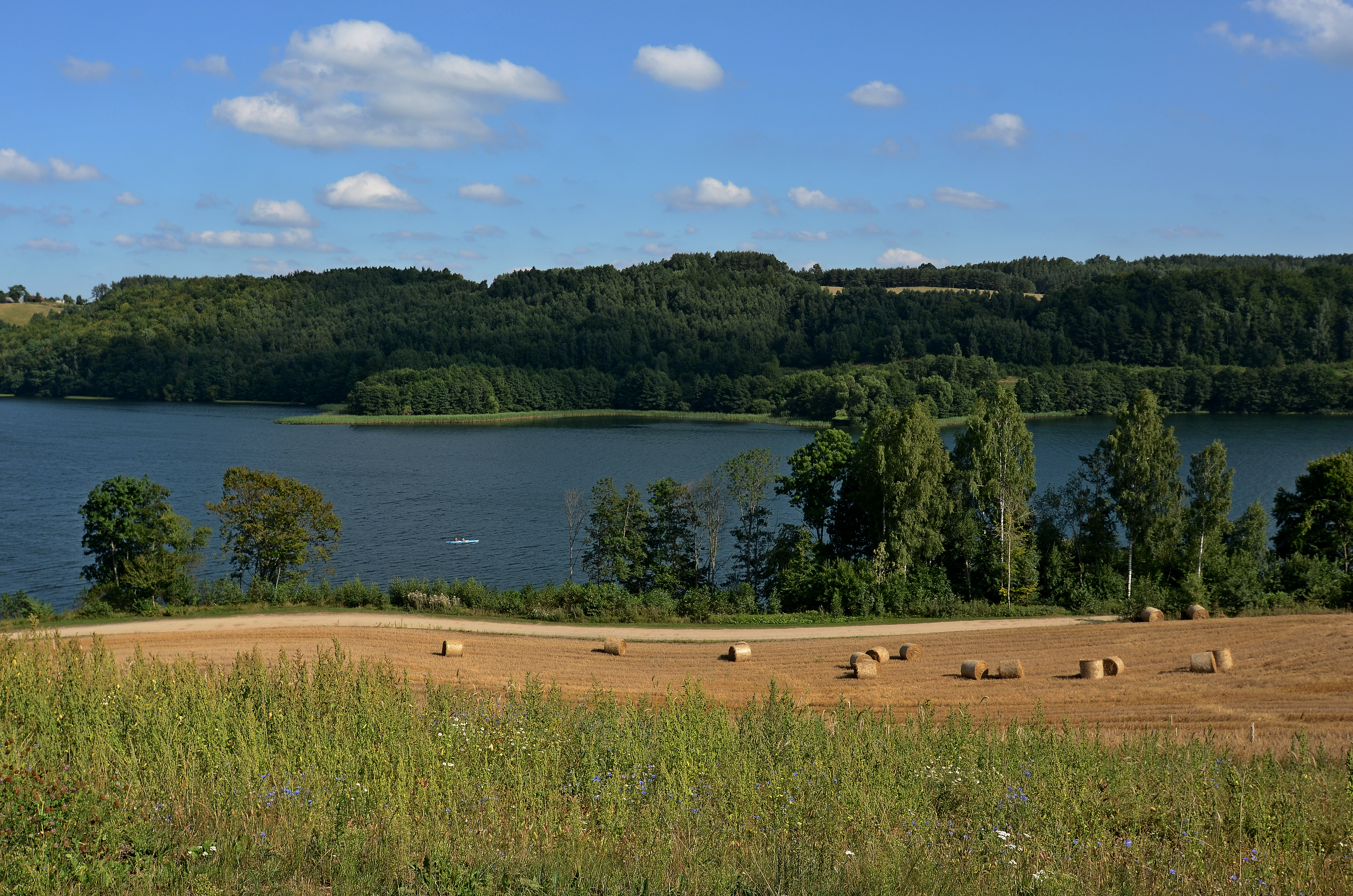
The Raduńskie Circle is one of the most picturesque canoeing trails in Poland. It runs through Kashubian lakes connected to each other in the form of a loop, which can be crossed, starting from a freely selected place (on the map, the starting point is Stężyca and finishing Lubowisko Lake). The trail is not the easiest but highly picturesque. The lakes offer a wide panorama of the surrounding Kashubian hills. Portages on streams connecting individual lakes might appear to be troublesome. The trail possesses well developed tourist infrastructure such as bridges, marinas and portages which allow you to rest while rafting or launch kayaks in many places along the trail.
Course of the trail:
Stężyckie Lake – Raduńskie Górne Lake – Raduńskie Dolne Lake – Kłodno Lake – Małe Brodno Lake – Wielkie Brodno Lake – Ostrzyckie Lake – Patulskie Lake – Dąbrowskie Lake – Lubowisko Lake (the first 7 lakes are connected by the Radunia River)
Suggestions of lengthening the trail:
- Kłodno Lake – Białe Lake – Rekowo Lake
- Ostrzyckie Lake – Bukrzyno Duże Lake – Bukrzyno Małe Lake
Obstacles on the trail:
- Chmielonko - 30 m portage in order to bypass the mill weir gate.
- Brodnica Dolna - 20 m portage in order to bypass the weir gate.
- Gołubie - troublesome section of the shallow stream, 200 m portage next to the mill, another 10 m right before Dąbrowskie Lake.
- Shallow and troublesome stream between Dąbrowskie and Lubowisko Lake.
- Canoes portage at a distance of 1,5 – 2 km between Lubowisko and Stężyckie Lake.
Accessibility for the disabled:
The trail is moderately easy, troublesome portages on the sections between the lakes.