Chmieleńska Cycle Trail
- 7.0 km
- 50min
- Niebieski
- easy
- 163 m
- 244 m
Characteristics of the trail
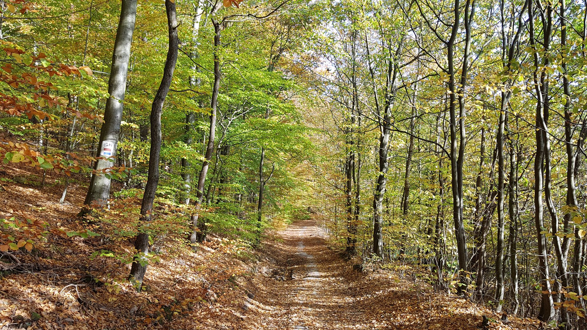
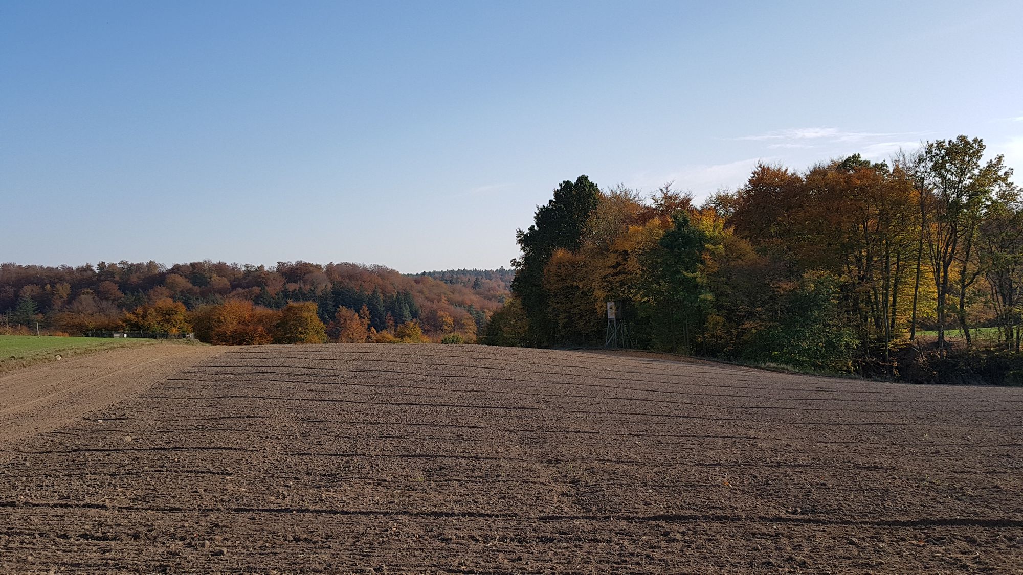
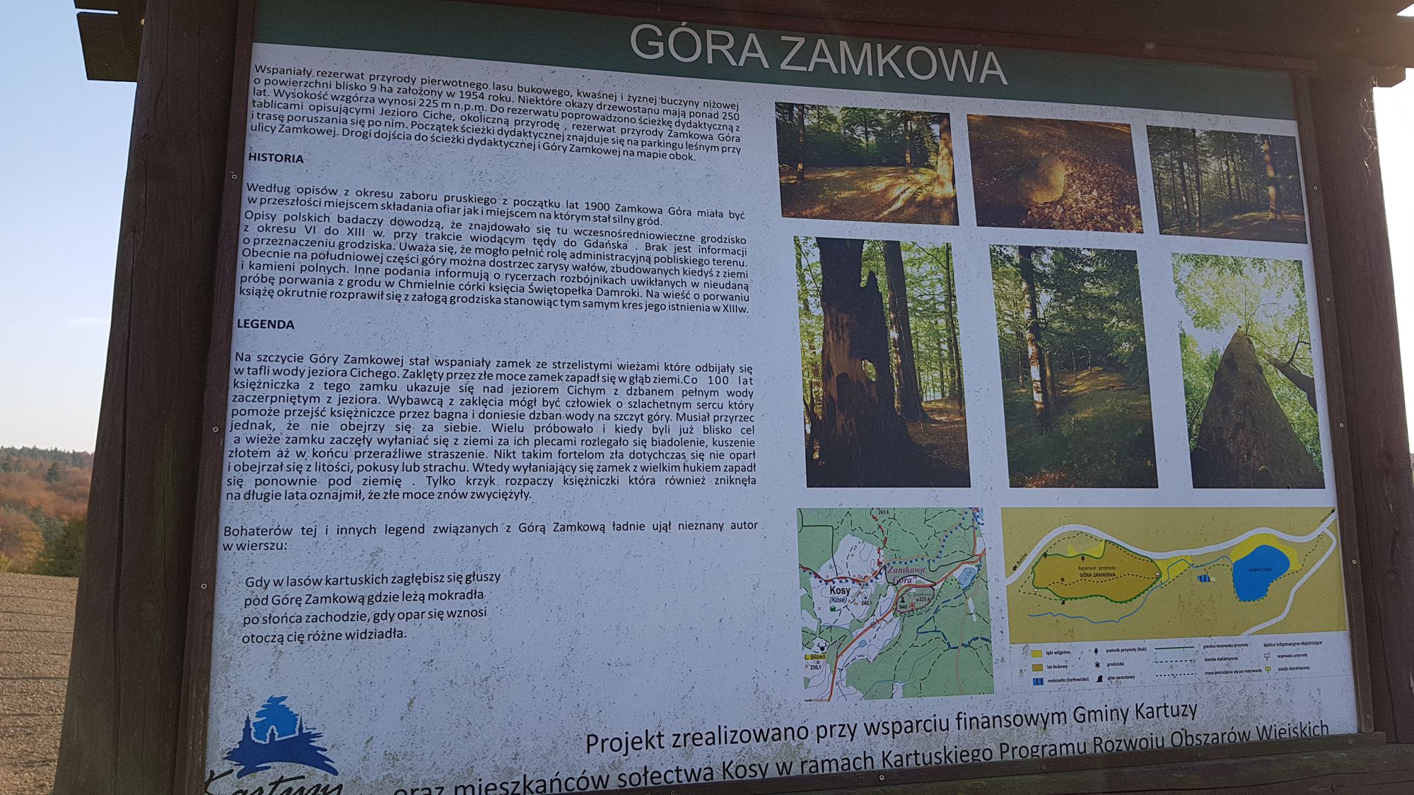
The trail is a short, 7-kilometer section leading from the border of the Kartuzy Commune with the Chmielno Commune, nearby Rekowo to the center of Kartuzy. The trail runs mainly through forest areas located to the west of Kartuzy passing the picturesque village Kosy. It is ideal for a trip through the forests of Kartuzy, along numerous hills of post-glacial origin (Tamowa Góra, Biskupia Góra, Zielona Góra or Zamkowa Góra), rising over 200 m above sea level which makes it highly scenic. The trail can complement the Castle Cycle Trail.
General course of the trail (distance in km increasing from the starting point)
Rekowo – Kosy (2 km) – Kartuzy (7 km).
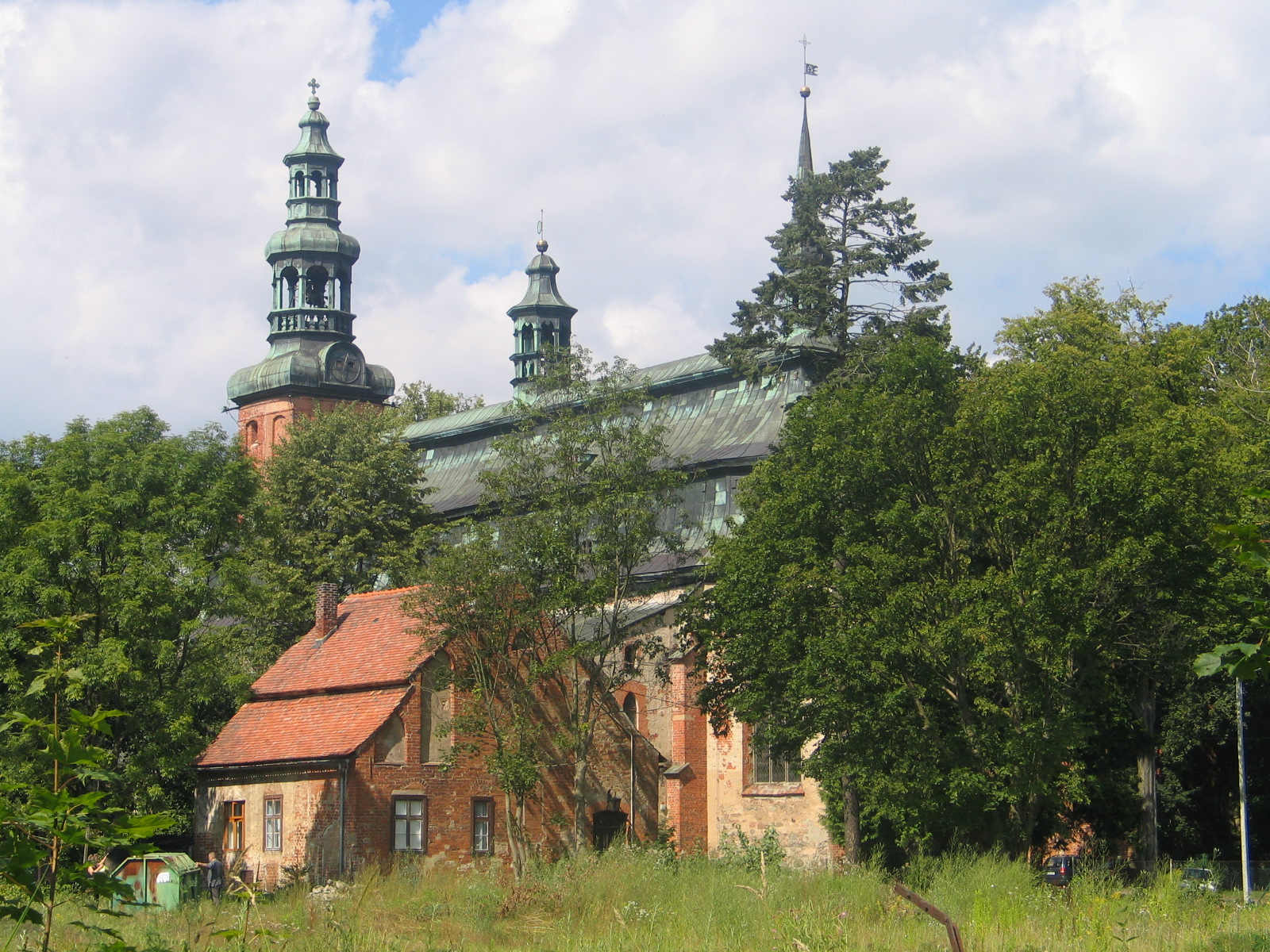
The trail forms a section, the beginning is located in the vicinity of Rekowo, on the border of Kartuzy and Chmielno Communes and the end in Kartuzy near the Collegiate Church of the Assumption of the Blessed Virgin Mary. The trail belongs to short (7 km long) and easy routes. There is one steep uphill section on the trail (about 300 m in the initial part). The trail runs along roads of various surfaces, all of them, however, are in good technical condition – its major part runs along dirt roads or cycle paths; part from the village of Kosy to Kartuzy also along an asphalt road with low traffic - the structure of the trail surface is as follows (in% of the length):
- dirt roads – 35%,
- asphalt roads – 35%,
- cycle paths (asphalt and paving stones) – 30%.
The trail is marked on the ground. It is interesting from the touristic point of view and has a typically recreational character. In its initial section (about 300 m) is not passable for a bicycle with panniers / bicycle trailer – attention should also be paid to safety while driving on asphalt roads.
Trail parameters:
- marking: yes
- starting point: Rekowo
- finishing point: Kartuzy
- medium gradient: 6,5%
- the highest point: 262 m
- the lowest point: 177 m
- sections with considerable gradient: 1
- purpose: for families with children (apart from the initial, 300 meter section).