The Radunia River Trail
- 39.4 km
- 8h
- Niebieski
- average
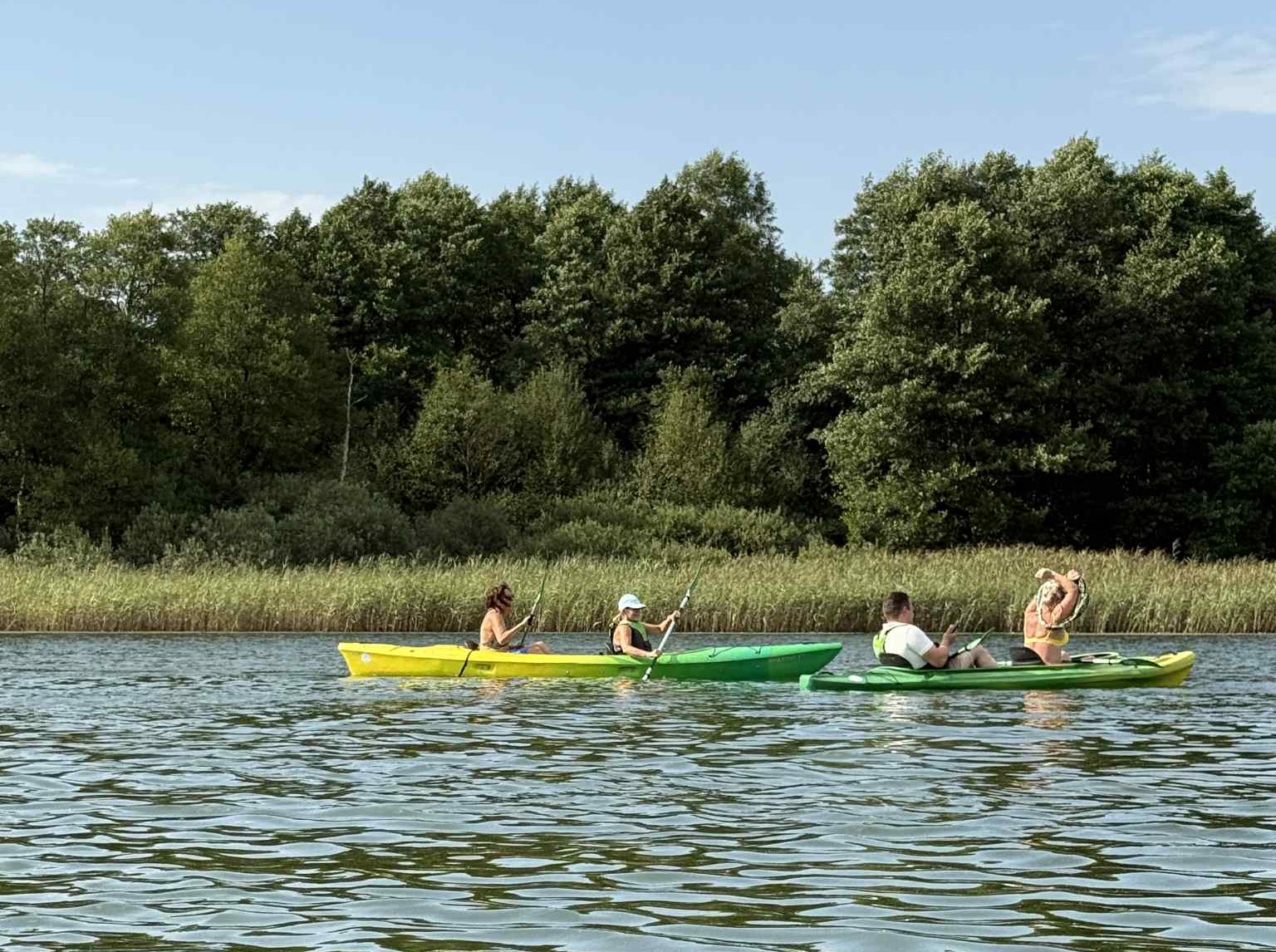
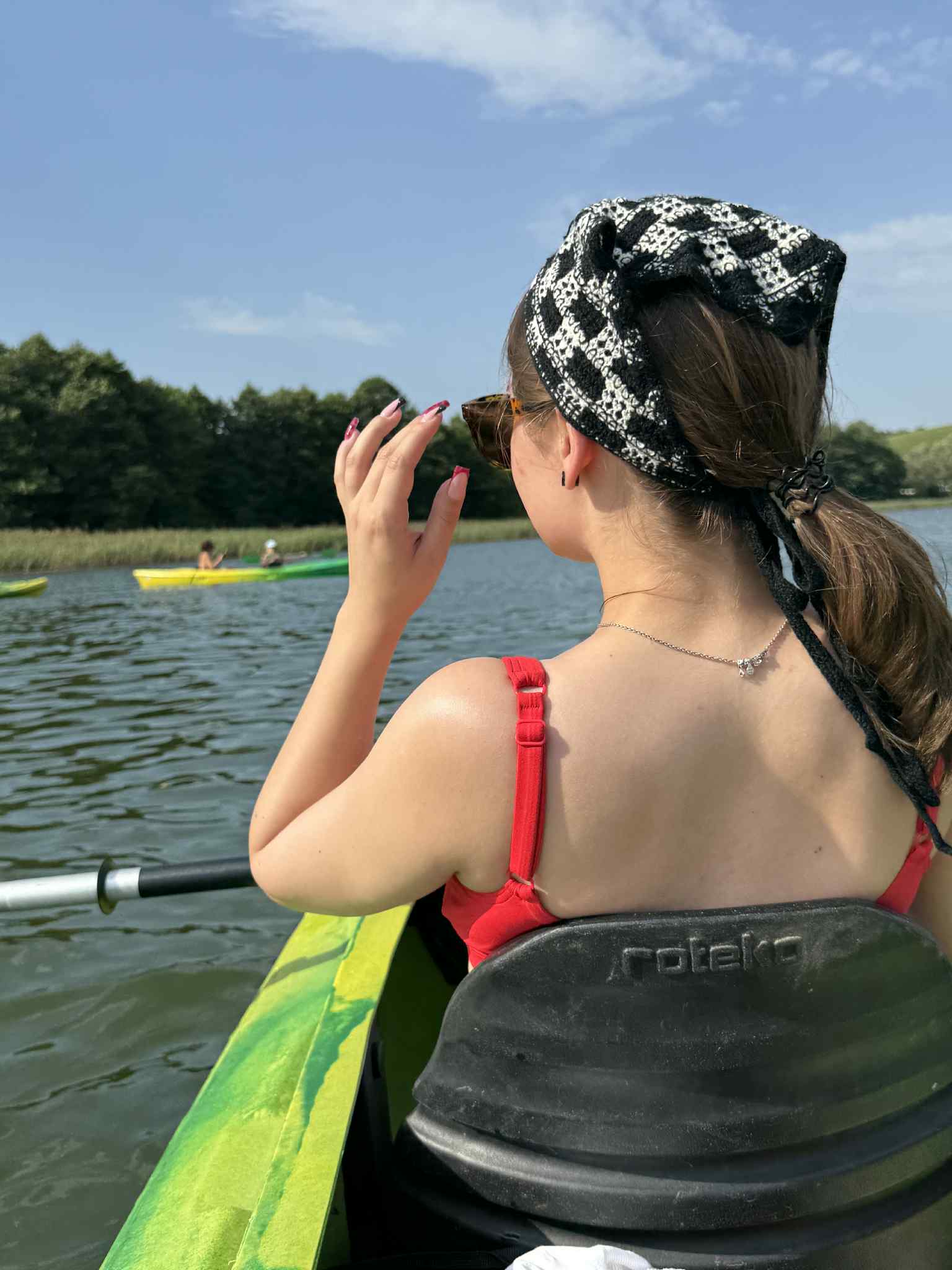
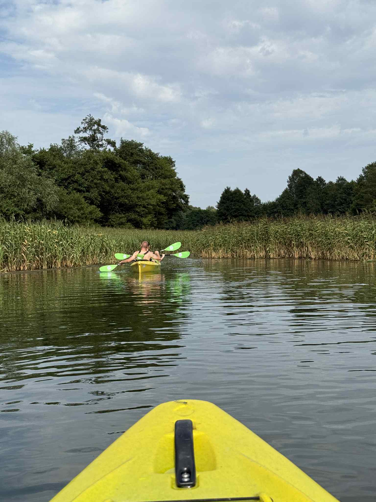
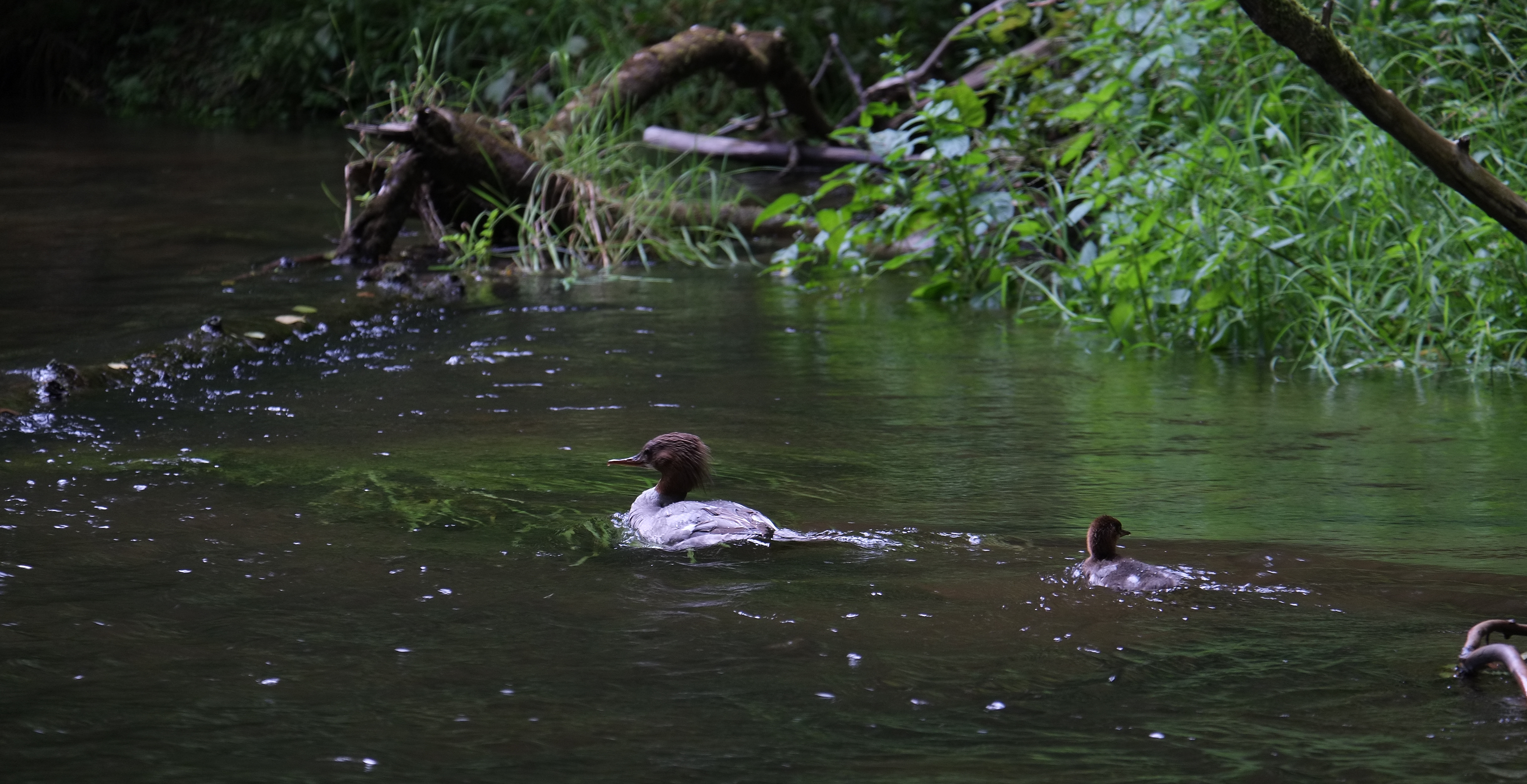
The trail leads along the winding banks of the Radunia which flows out of the lakes of Raduńskie Circle. This unruly river is a real paradise for those seeking water adventure and sporting experience. Its changeable nature makes it attractive for people with varying degrees of canoeing advancement. Since 2012, its most difficult section running through the Radunia Ravine Reserve has been closed for canoeing. The trail is well-developed in terms of the tourist infrastructure, such as piers and portages which allows you to rest while rafting or launching kayaks in designated areas along the trail.
Course of the trail (within the territory of Kashubian Switzerland):
Ostrzyce – Trzebno Lake – Goręczyno – Somonino – Kiełpino – Rutki – Żukowo – Niestępowo. The trail starts in Ostrzyce at the outflow of the Radunia from Ostrzyckie Lake (possibility of launching by the lake).
Suggestions of lengthening the trail:
The Radunia river trail gives the chance to reach Pruszcz Gdański and continue to the mouth of the Radunia to Motława.
Obstacles in the trail:
- Bridge on the road Brodnica Górna – Szymbark with weir gate – 20 m portage on the right bank is obligatory.
- Outflow from Trzebno Lake – water gate – 15 m portage on the left bank
- Radunia Ravine Reserve – closed section, unavailable for canoeists
Accessibility for the disabled:
The trail is mostly medium-easy, troublesome portages