Ostrzyce - Red route (through Ramleje)
- 15.6 km
- 4h
- Czerwony
- hard
- 158 m
- 224 m
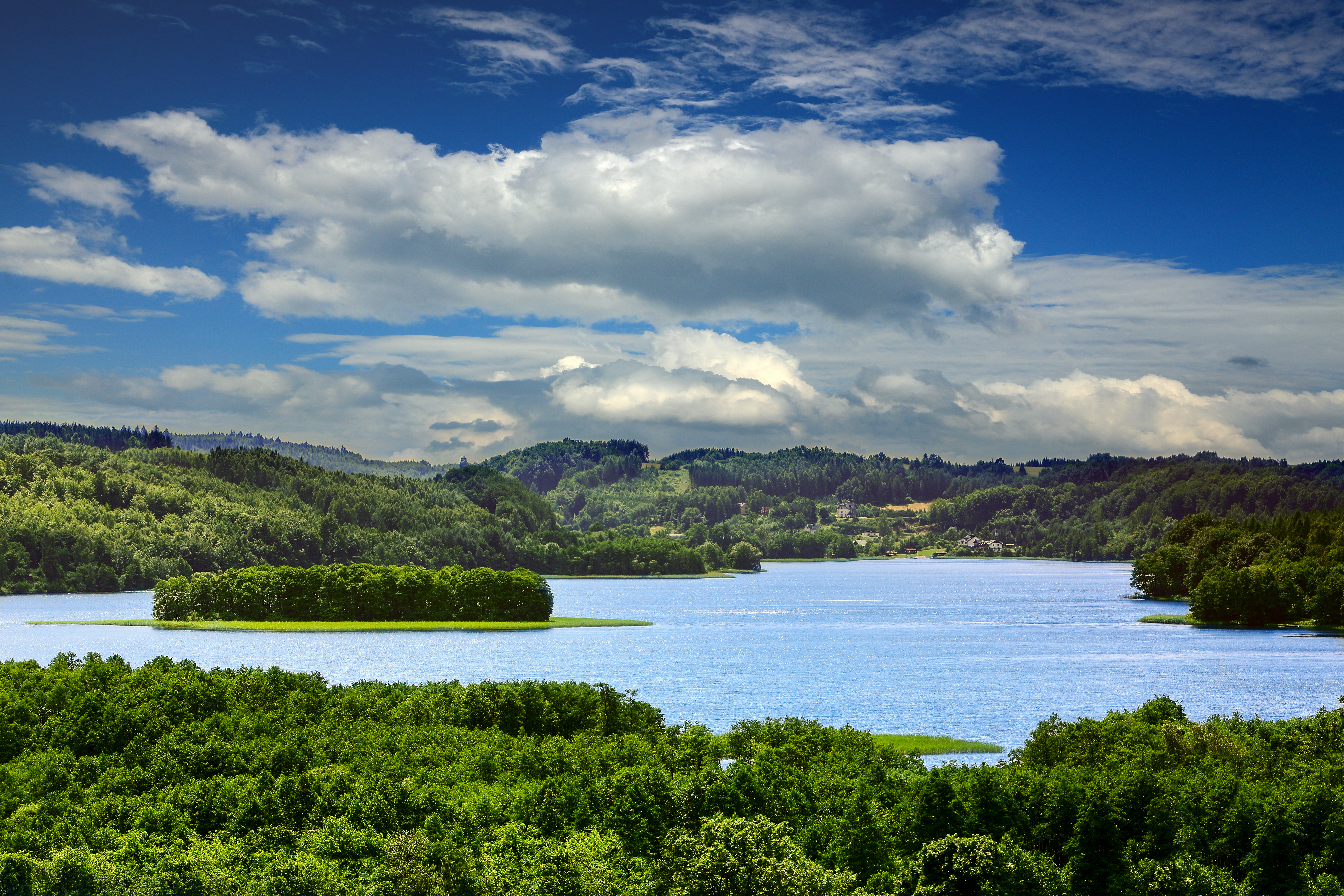
The trail forms a long loop starting at the Guesthouse "U Stolema" in Ostrzyce. It runs along Ostrzyckie Lake towards Ramleje next through Goręczyno, Rąty and Kolańska Huta and finally returns to Ostrzyce. While walking there is a chance to admire the beauty of Kashubian Switzerland with the panorama of Wieżyca peak (328.6 m above sea level) as well as the observation tower. The trail leads along asphalt and forest roads and the diversified landscape gives the trail a more varied character.
The trail passes through protected areas: the Kashubian Landscape Park and its buffer zone, the Natura 2000 area of the ‘Kashubian Lake District’ and the Protected Landscape Area of the ‘Radunia Valley’
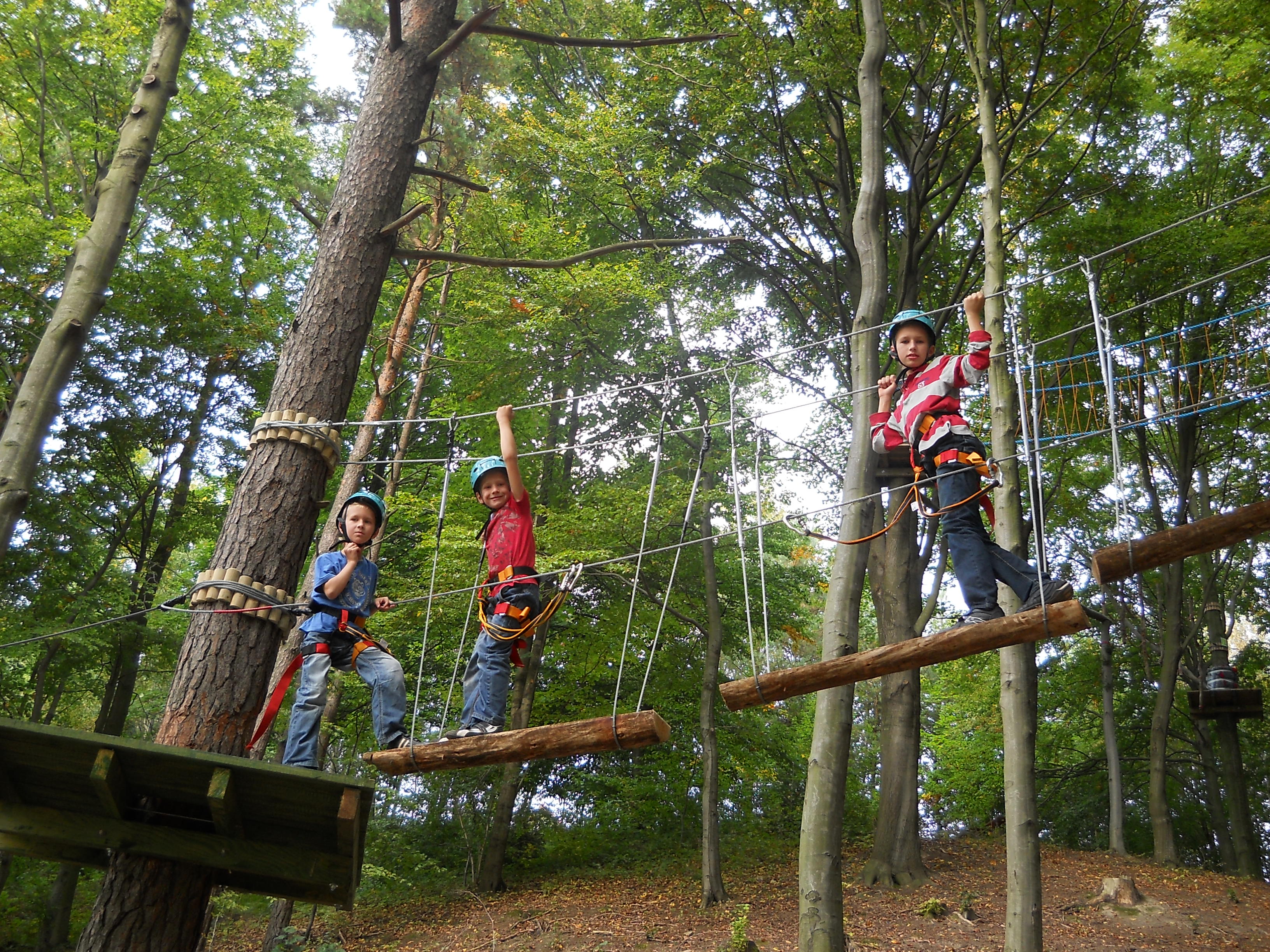
The trail belongs to the difficult ones mainly due to its considerable length but also sections with highly varied terrain. The trail is entirely marked in the terrain.
Level of difficulty: difficult
Trail length: 15,6 km
Types of roads:
- 20 % asphalt roads, road slabs,
- 80 % forest roads
Time: 4 hours
