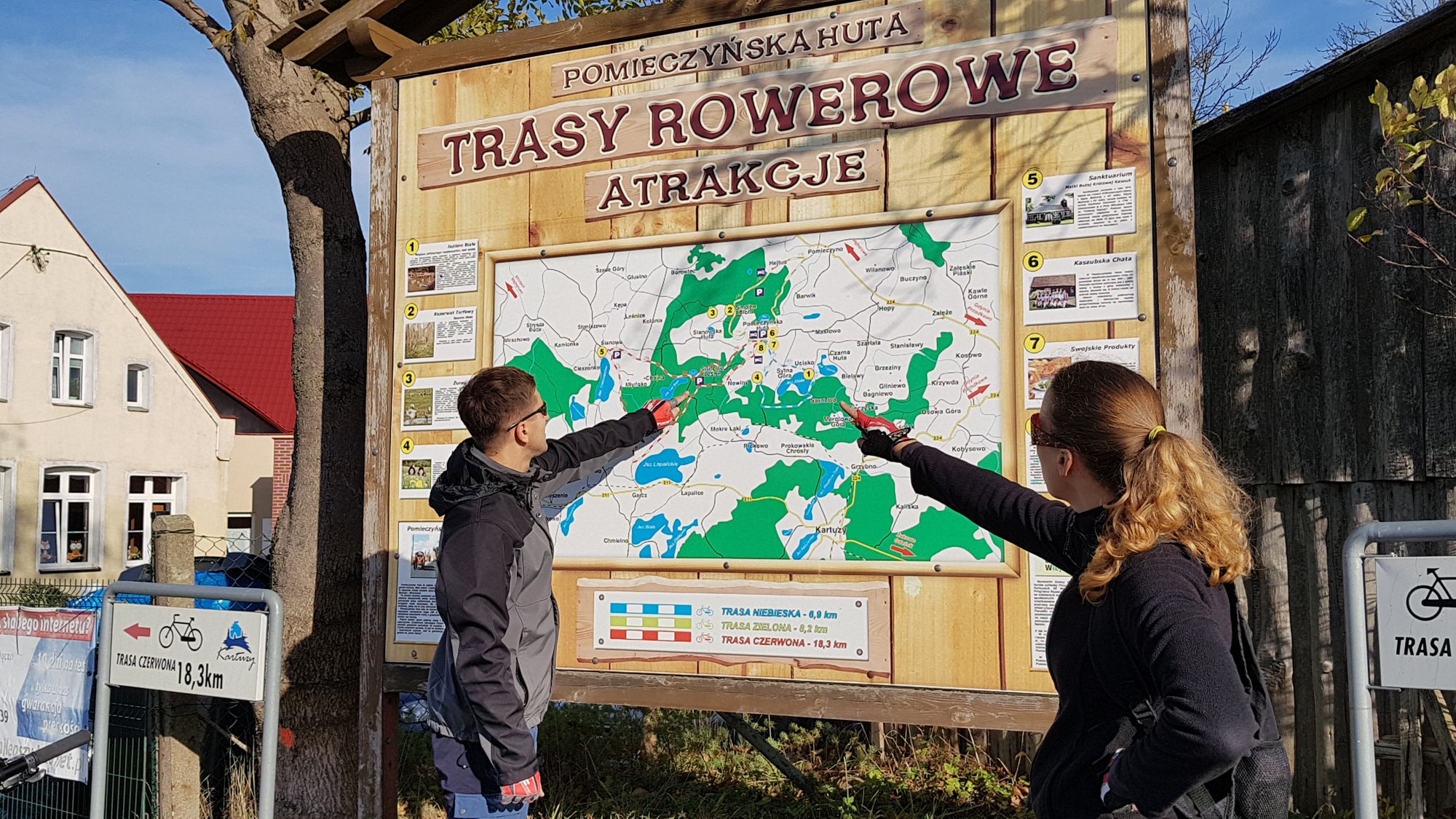
Pomieczyńska Red Trail
- 17.5 km
- 1h 30min
- Czerwony
- average
- 136 m
- 241 m
Characteristics of the trail
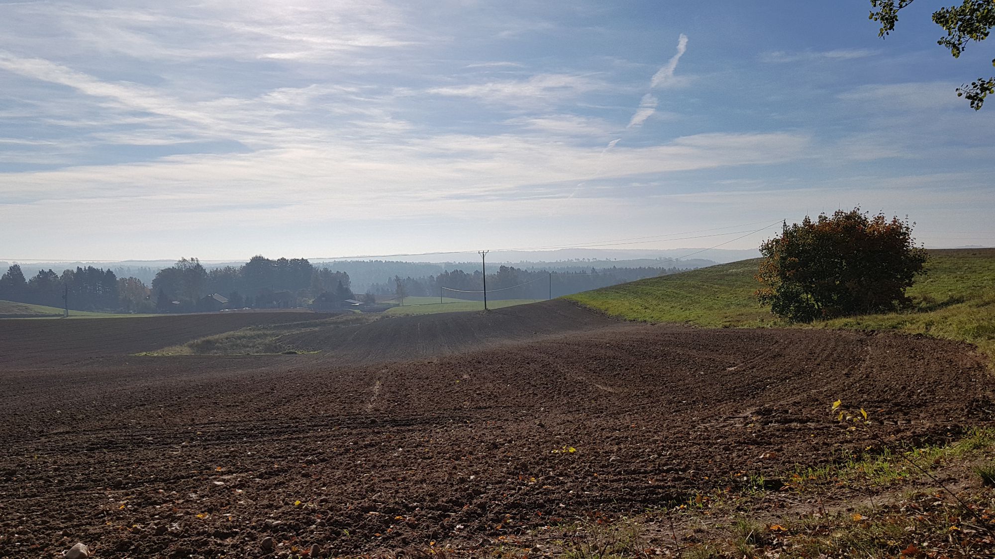
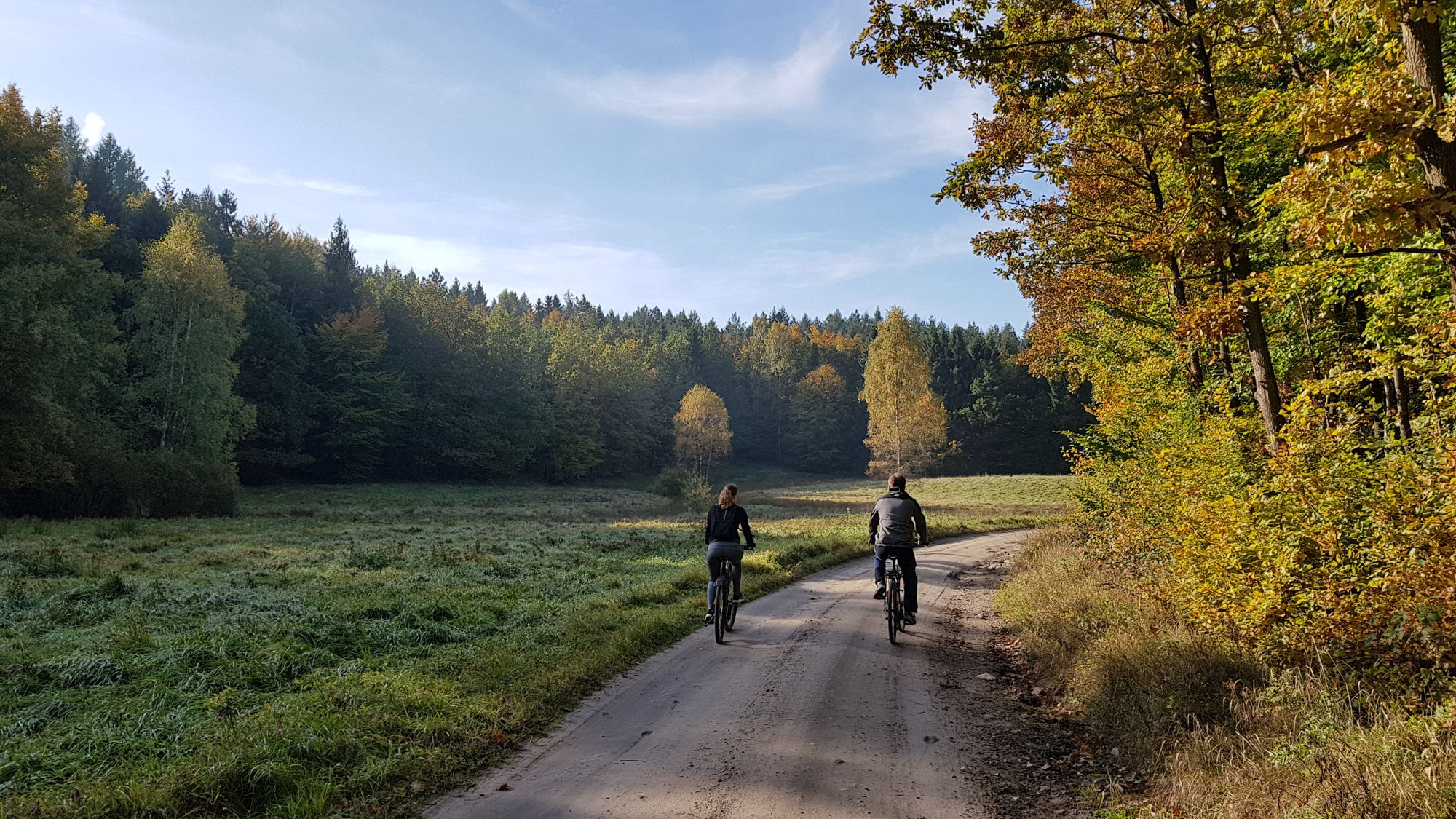
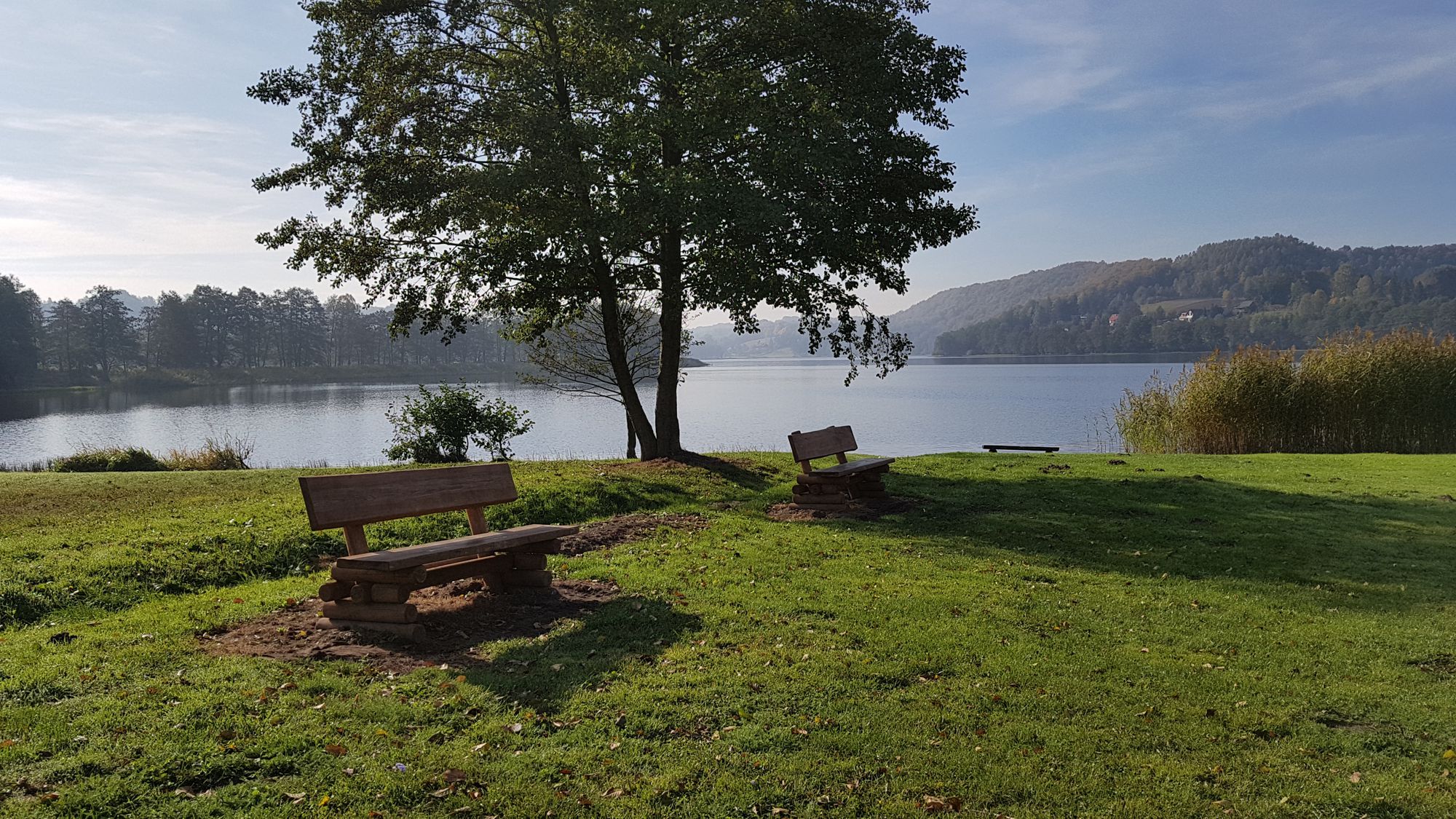
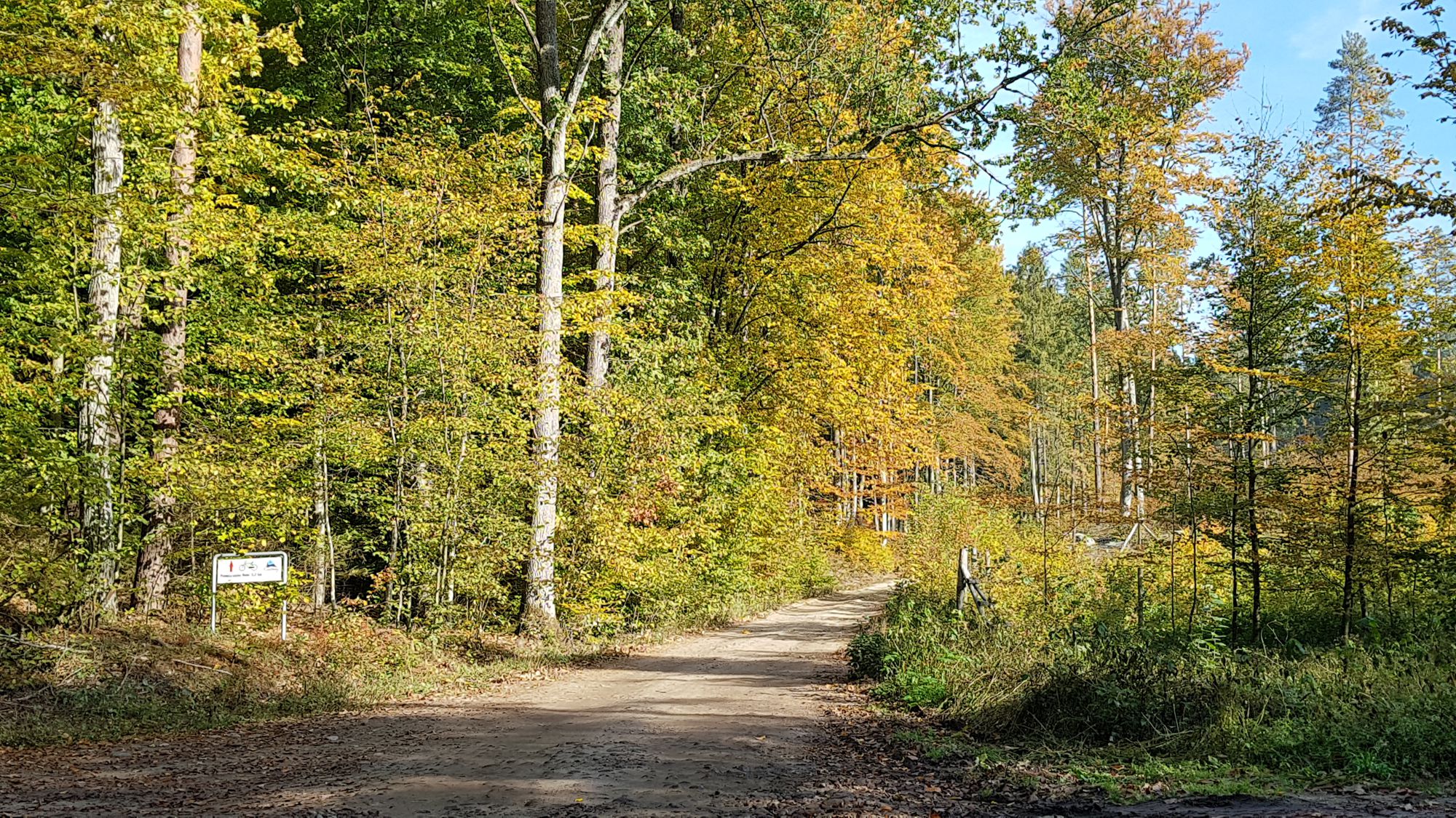
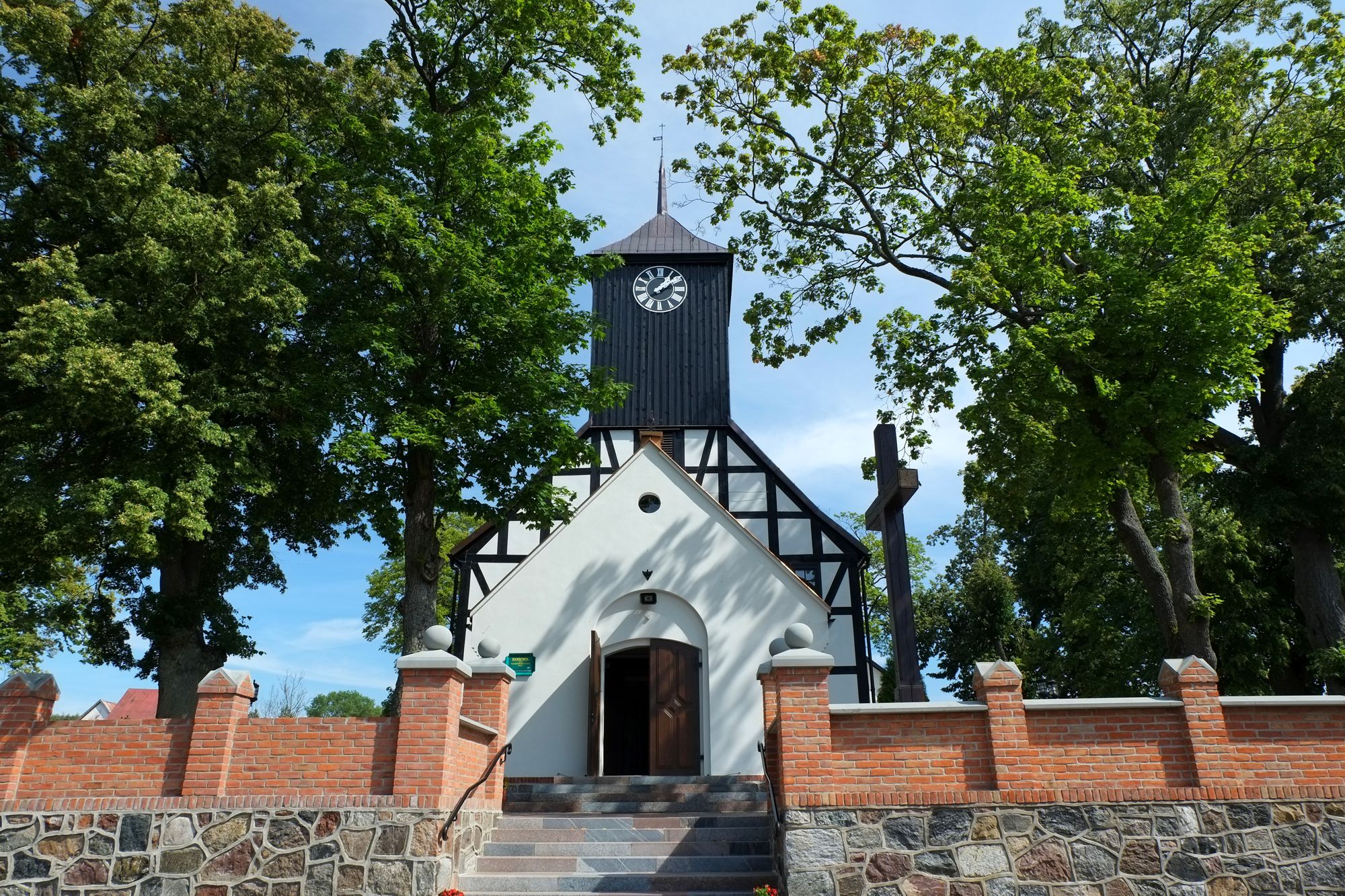
The cycling trial is one of three suggestions with the starting point in Pomieczyńska Huta. It leads through less known and touristy areas of Kashubian Switzerland. A characteristic feature is its typically rural, traditional and agricultural character. The trail gives the chance to admire rarely seen views connected with traditional farming with horses or meet locals always willing to chat. The trail runs, among others through Sianowo, in the immediate vicinity of the Sanctuary of Our Lady Queen of Kashubia. In addition, it offers numerous lakes, varied terrain and picturesque views of the surrounding area.
General course of the trail (distance in km increasing from the starting point)
Pomieczyńska Huta – Sianowo (7 km) - Kożyczkowo (11 km) – Pomieczyńska Huta (17,5 km).
The trail is in the shape of a loop with the starting and finishing point in Pomieczyńska Huta. It is among the medium-length (17.5 km long) and medium difficulty trails. There are several uphill sections (especially on the Sianowo - Kożyczkowo section). It leads along roads with various surfaces, all of them, however, are in good technical condition - part of it runs on the surface of road slabs, however their type and way of laying makes riding not problematic; in part, the trail also leads through dirt and asphalt roads with relatively low traffic - the structure of the trail surface is as follows (in % of length):
- road slabs – 35%,
- dirt roads – 45%,
- asphalt roads – 20%.
The trail is fully marked by means of directional signs. It is highly interesting, recommended especially to those who are looking for less visited places and trails, rest in a typical country atmosphere or seek interesting views. It is entirely passable for a bicycle with panniers. In the case of bicycle trailers, attention should be paid to the section running partly on road slabs and the section that runs along the road on which the car traffic takes place (the road does not have a roadside).
Trail parameters:
- marking: yes
- starting point: Pomieczyńska Huta
- finishing point: Pomieczyńska Huta
- medium gradient: 4,3%
- the highest point: 257 m
- the lowest point: 143 m
- sections with considerable gradient: 2
- purpose: for families with children.
