Pomieczyno - Red route (around Otalżyno Lake)
distance (km)
altitude m a.s.l.
- 14.5 km
- 3h
- Czerwony
- hard
- 0 m
- 217 m
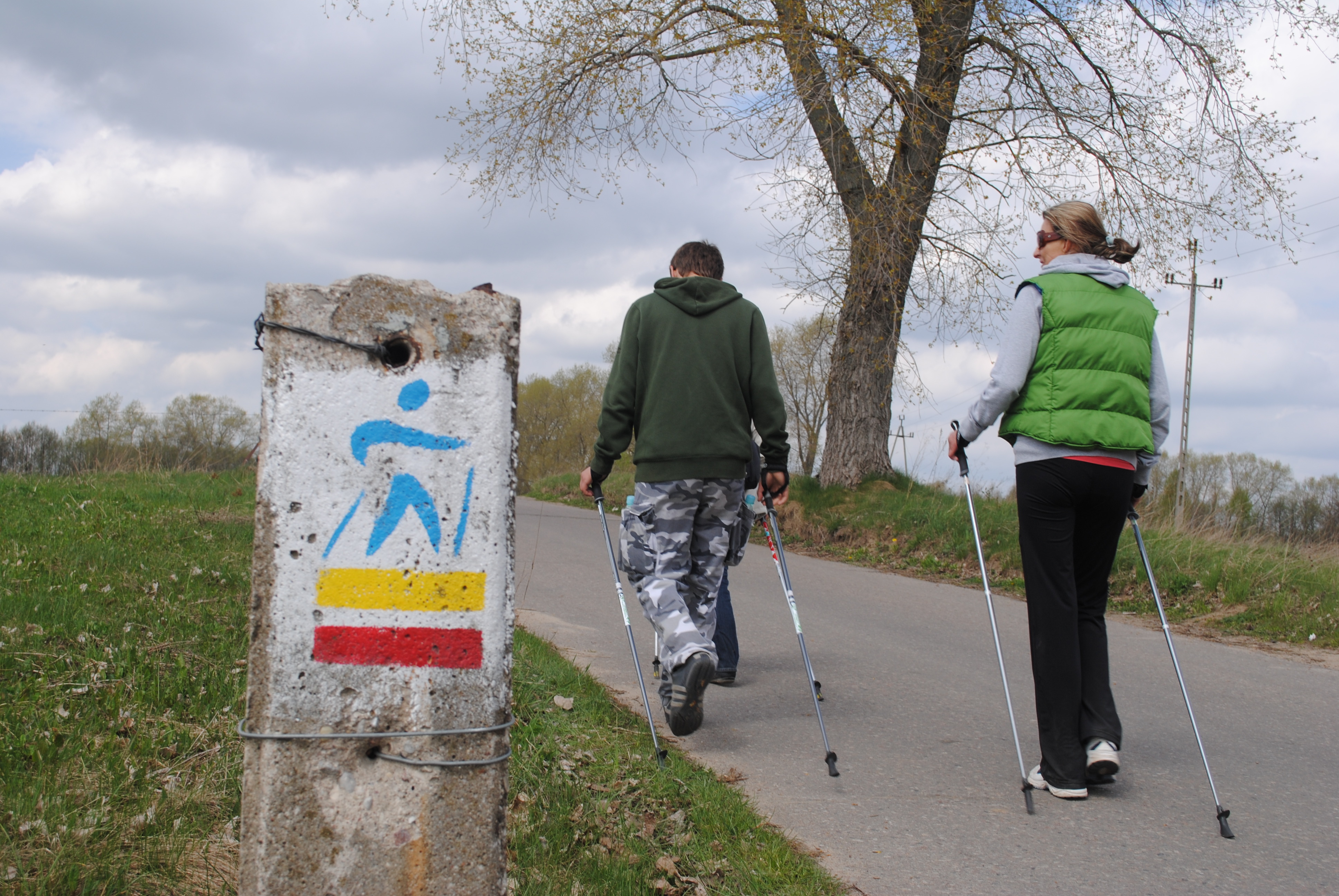
The trail starts and finishes at the Base Camp Hejtus near Pomieczyno. It leads through Pomieczyno, Otalżyno Pomieczyńskie, circles around the Otalżyno Lake and then returns along the same road to Hejtus. The length of the trail is compensated by its charming character. The trail leads through flat, wide roads between cultivated fields and rural buildings. The trail is difficult and due to its length requires good physical condition. The trail is entirely marked in the terrain.
Level of difficulty: difficult
Trail length: 15 km
Types of roads:
20% asphalt roads,
80% forest roads
Time: 3 hours
