Chmielno - Yellow route (through Zawory)
distance (km)
altitude m a.s.l.
- 7.1 km
- 1h 30min
- Żółty
- average
- 0 m
- 221 m
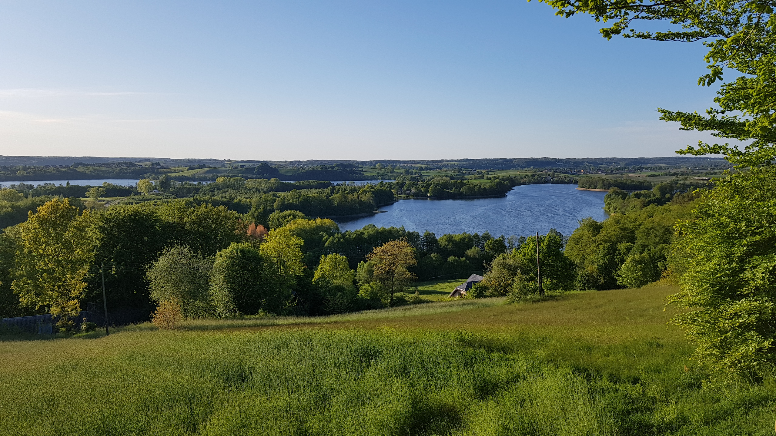
The trail forms a loop with the starting point at the Communal Culture, Sports and Recreation Centre in Chmielno. It leads towards the lido between Kłodno and Białe Lakes then towards Zawory, through Tamowa Góra offering commanding view of the Kłodno, Białe and Rekowo Lakes. The trail, even though relatively short, runs via highly picturesque surroundings with varied terrain and beautiful views of the surrounding lakes.
The trail is entirely located in the Kashubian Landscape Park and the initial section leads also in the area of Natura 2000 ‘Kashubian Lake District’.
The trail is entirely marked in the terrain.
Level of difficulty: medium
Trail length: 7,1 km
Types of roads:
- 63 % asphalt roads, road slabs,
- 37 % forest and dirt roads.
Time: 1 ½ hours