Pomieczyńska Green Trail
- 9.2 km
- 50min
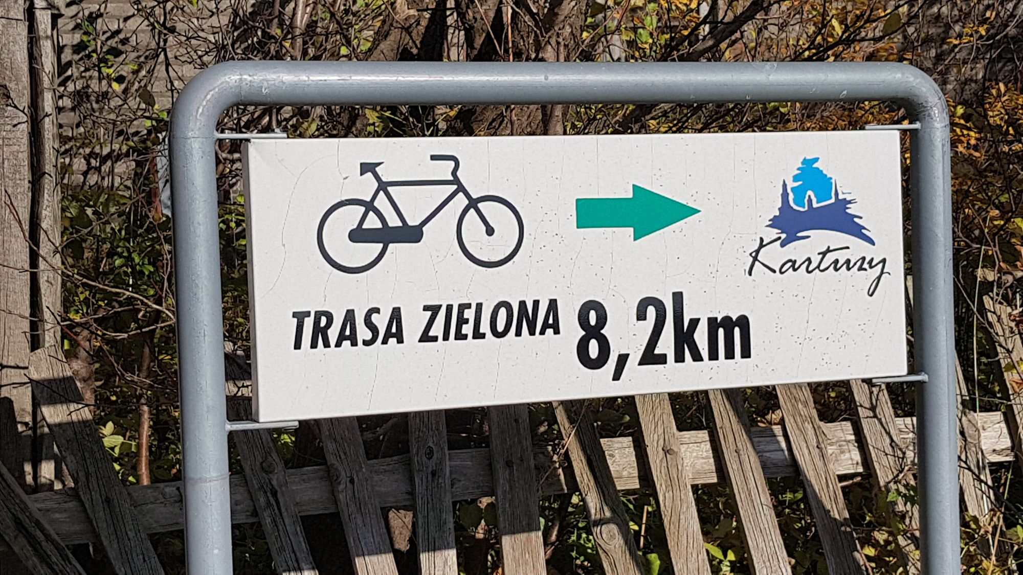
- Zielony
- easy
- 200 m
- 248 m
Characteristics of the trail
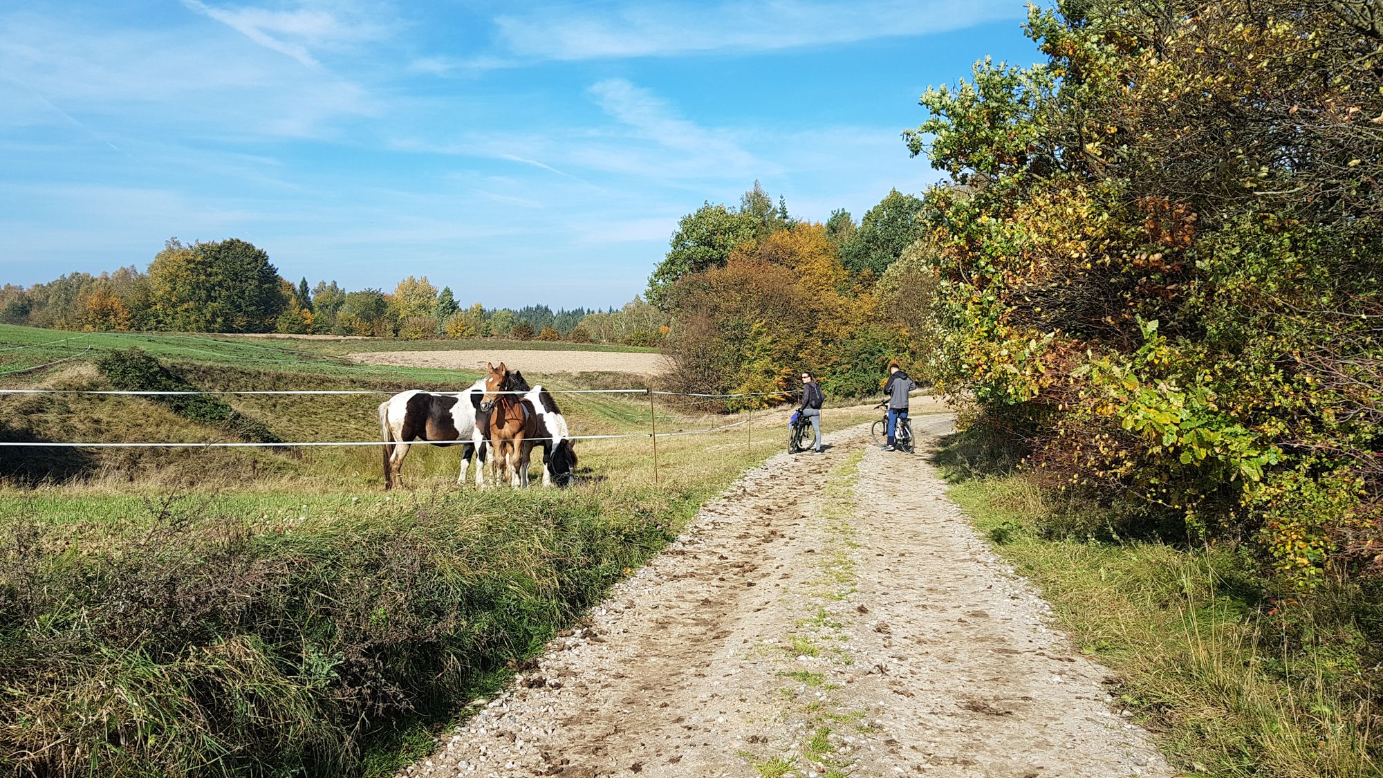
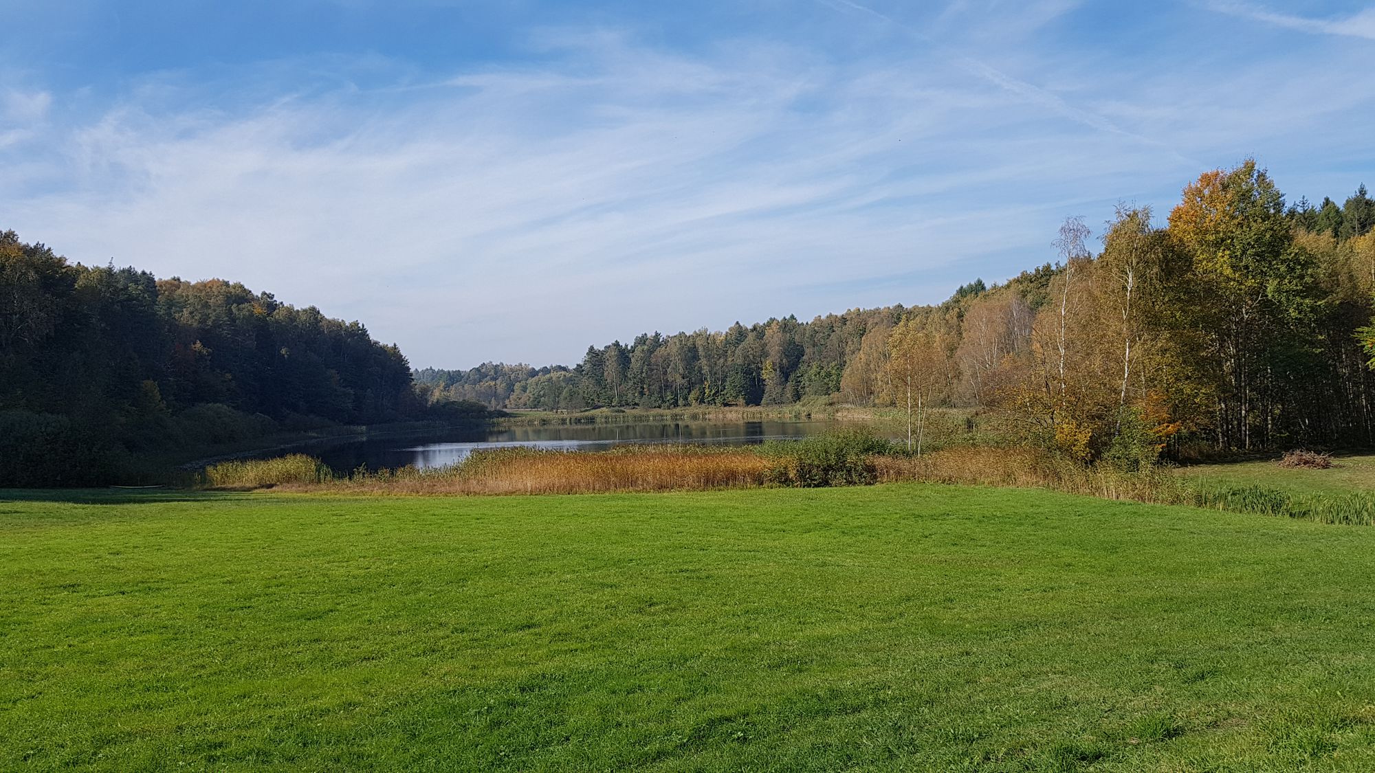
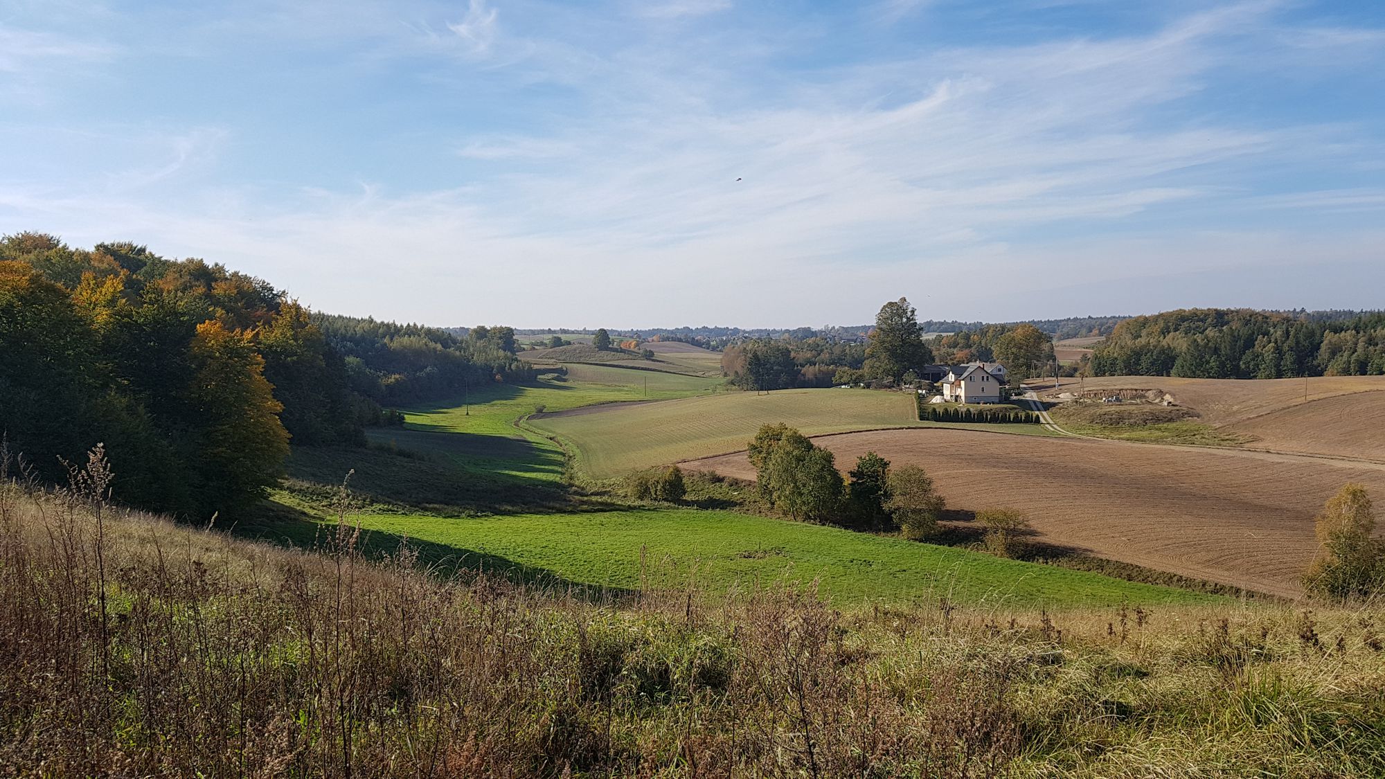
The cycling trial is one of three suggestions with the starting point in Pomieczyńska Huta. It leads through less known and touristy areas of Kashubian Switzerland. Its characteristic major feature is the picturesque forest and agricultural character. As a result, the trail is typically recreational and makes an excellent option for a short sightseeing trip.
General course of the trail (distance in km increasing from the starting point)
Pomieczyńska Huta – Pomieczyno Małe (3,5 km) - Hejtus (4,5 km) – Smolne Błoto (7 km) - Pomieczyńska Huta (17,5 km).
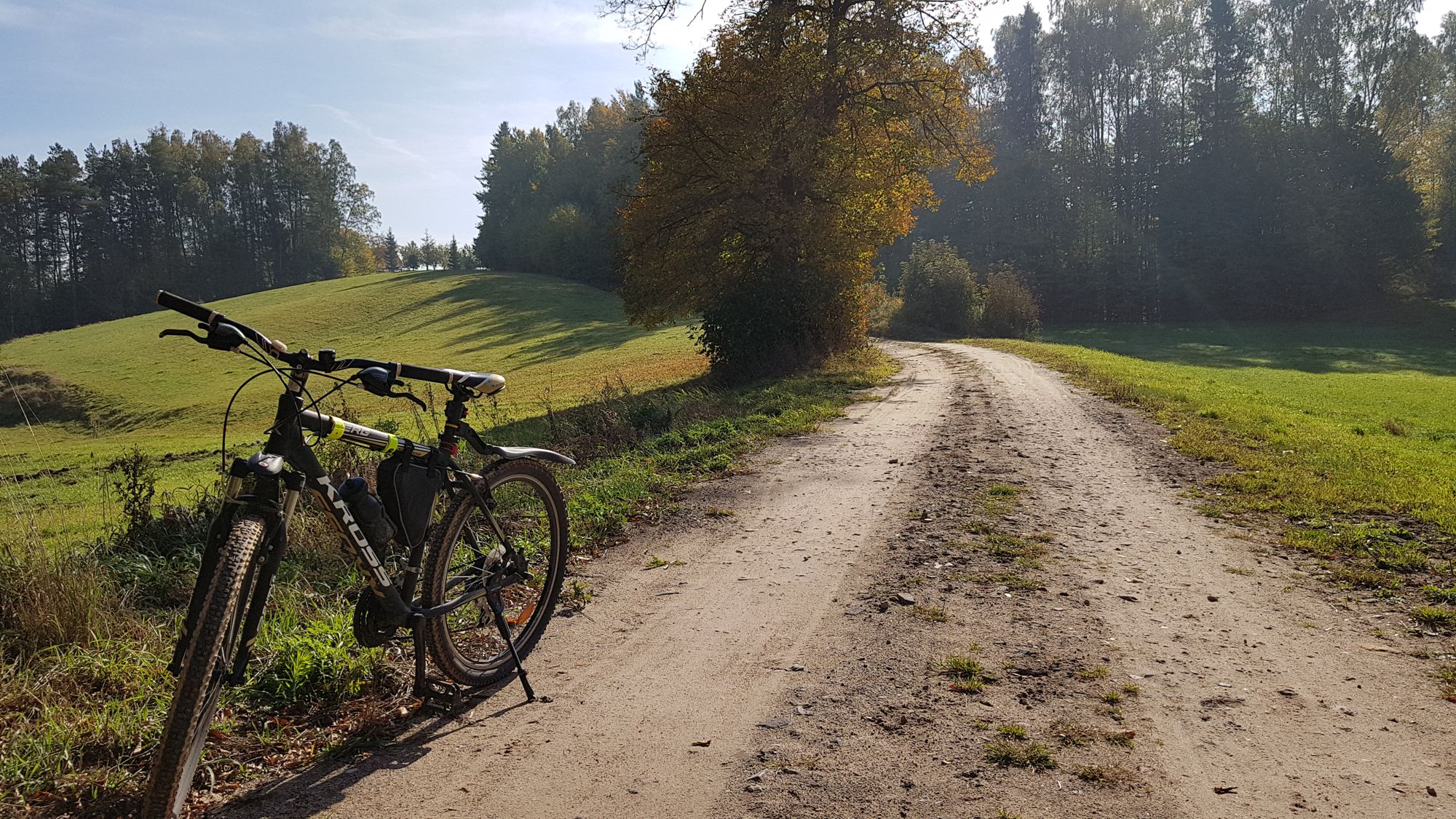
The trail forms a loop with the starting and finishing point in Pomieczyńska Huta. It belongs to short (17.5 km long) and easy trails. There is one steeper uphill section between Smolne Błoto - Pomieczyńska Huta. The trail leads along roads of various surfaces, all of them, however, are in good technical condition – its major part runs along dirt roads; in the beginning and the final part, the route also leads along an asphalt road with low traffic - the structure of the trail surface is as follows (in % of length):
- dirt roads – 90%,
- asphalt roads – 10%.
The trail is completely marked by means of directional signs. An interesting trail with a typical recreational character which is ideally suited for a short bike trip among forests and fields. The trail is entirely passable for a bicycle with panniers / bicycle trailer and highly recommended for families with children.
Trail parameters:
- marking: lack
- starting point: Pomieczyńska Huta
- finishing point: Pomieczyńska Huta
- medium gradient: 1,6%
- the highest point: 248 m
- the lowest point: 202 m
- sections with considerable gradient: 1
- purpose: for families with children.
